Create Geo-Country Map
Overview
The Maps widget will enable users to create a variety of maps using their data to create customized maps to see the data in map visualization. The map widget allows users to display the information in 2D or 3D geographic information. Users can use tools given in widgets such as Zoom, etc.
Prerequisites
To create Geo - Country Map Widget you need working Dataset with sales & state name.
Objective
How to Create Geo Map Widget.
Download Geo-Country.zip file from the link given Geo-Country.zip
Follow this link & upload India Sales Dataset into Dataset section.
Steps to create a Geo - Country Map Widget in AIV:
-
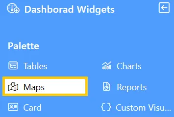
From the Left Vertical menu, click on the Map Widget icon. This will open the edit menu.
-
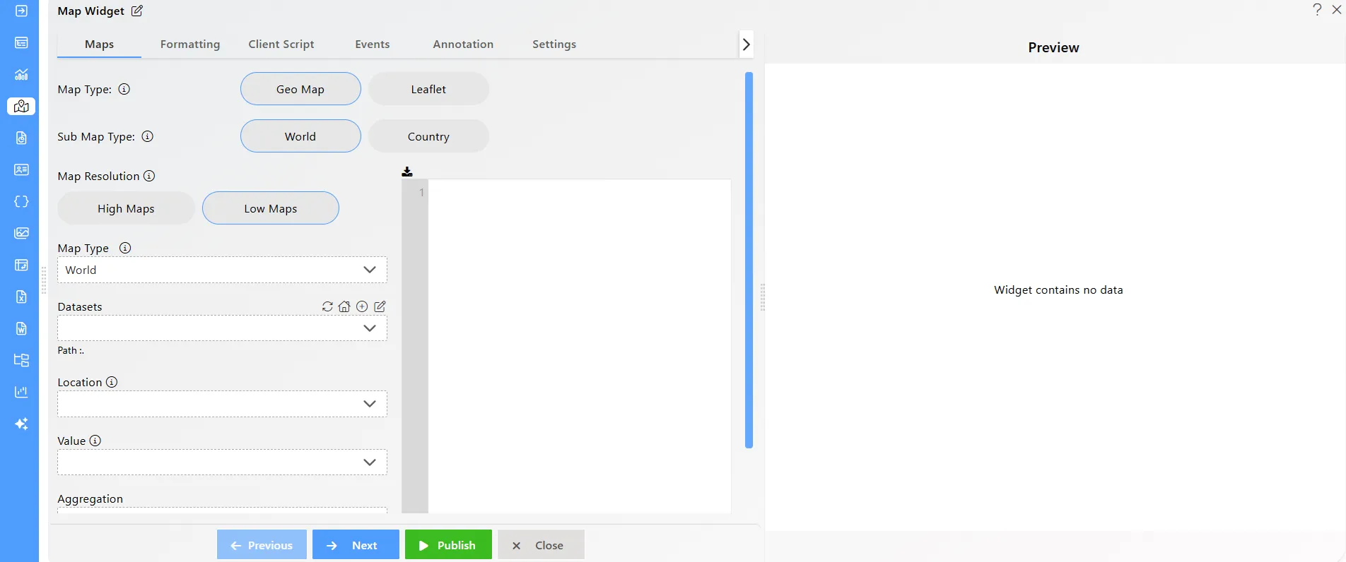
When you click the Map Widget icon, the widget will automatically be added to the content area of your dashboard.
-
Enter the following details in the Geo-Country Map:
- Name: Geo Map
- Sub Map Type: Country
- Map Resolution: High Maps
- Map Type: India
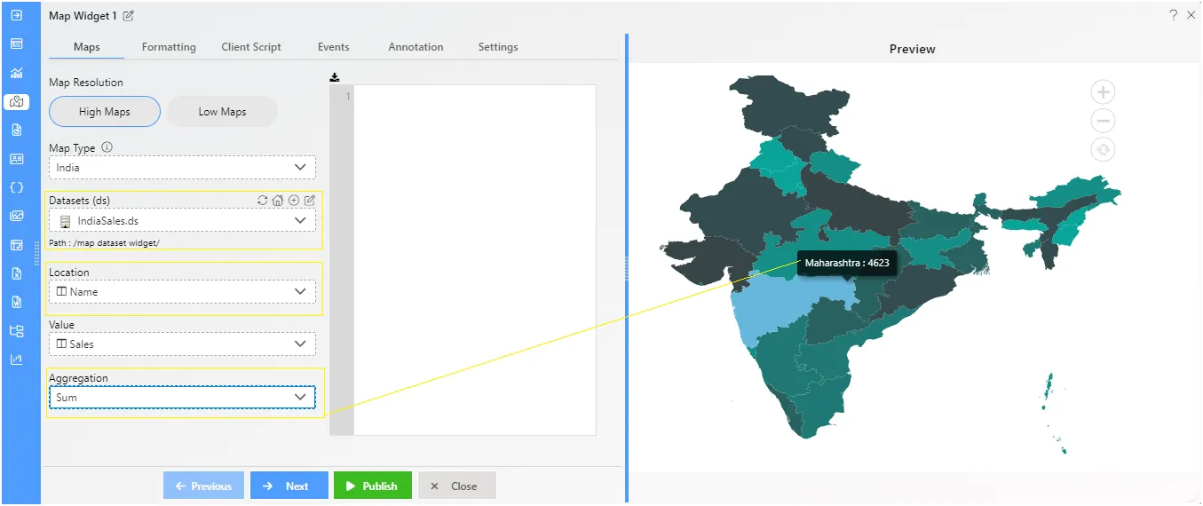
- Datasets: IndiaSales.ds
- Location: Name
- Value: Sales
- Aggregation: Sum
-
Click the Publish button, then the Preview icon, and finally click on the SAVE AND EXIT button to view the Geo-Country Map Widget.
-
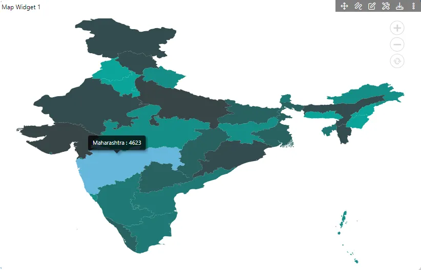
Compare your Geo-Country Map Widget setup with the example shown below to ensure it matches the expected output: